OpenStreetMap - это карта всего мира,
которую может редактировать каждый,
которая создается практически с чистого листа
и распространяется под свободной лицензией.
Первоисточник: http://www.openstreetmap.org
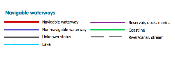
An ITO Map overlay showing navigable waterways which are tagged with waterway=* and a value of canal, drain, stream or river. If they also have boat=yes they are shown in red and is boat=no are shown in blue; rivers without either are shown in black. The coastline is green, lakes are brown and reservoirs in purple. waterway=riverbank is not displayed to avoid obscuring the colour coding of the river itself.